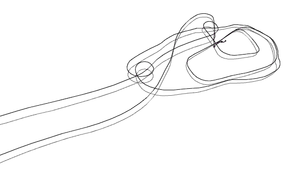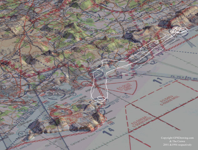
Shoreham to the Isle of Wight
Location: Shoreham-by-Sea, E.Sussex, and Isle of Wight,
UK.
Date: 10/08/01
Track Length: 208.58 km
Method: PA 28 Warrier
Pilot: Ian Hackett
From Shoreham airport at an average speed of 97.7 kph on the way to the Isle
of Wight,
and slightly faster at 124 kph on the way back.
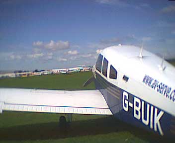 PA 28 Warrier
GPSograph_ Shockwave Viewer