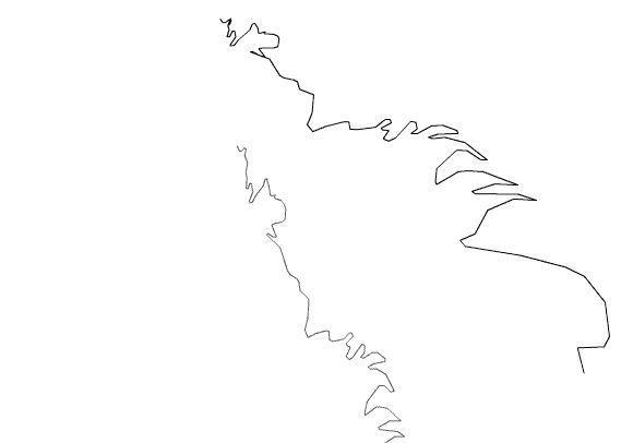
Location: Chinese/North Korean border.
Track Length: 9.8 km
Method: The driver of a the 4x4 was going as fast as he could on a very narrow road.
Comments: Going down the North side of Peakdunsan, a group of mountains on the North Korean /Chinese border over looking Chonjun lake. This was the tallest peak at about 3000 meters. Graham Wood
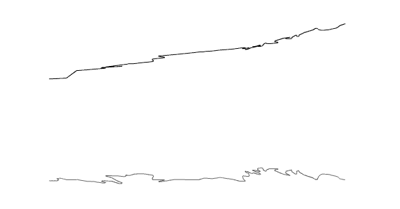
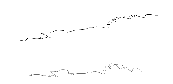
Track profile with shadow, north to east.