
Six Spirals
Field Walks [Full]
[01] [02]
The distance between the centre of each spiral is 120 metres.
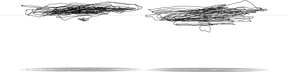
Side View:
Drawn on a flat field, this side view (with horizon line and shadows
a sea-level) show the inaccuracies of the GPS altitude data.
Perspective views:
North-East
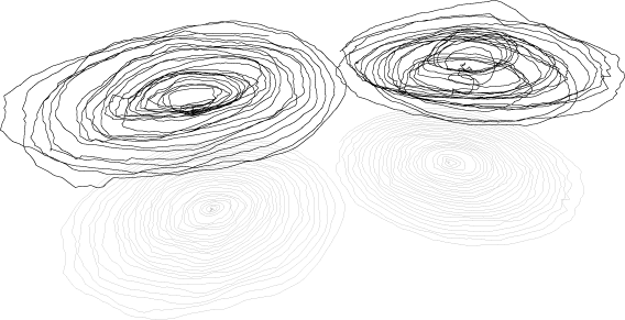
North-West
