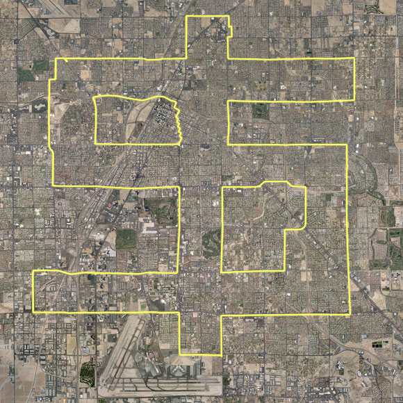
Eight miles from top to bottom
Vegas Dollar
Eight miles from top to bottom
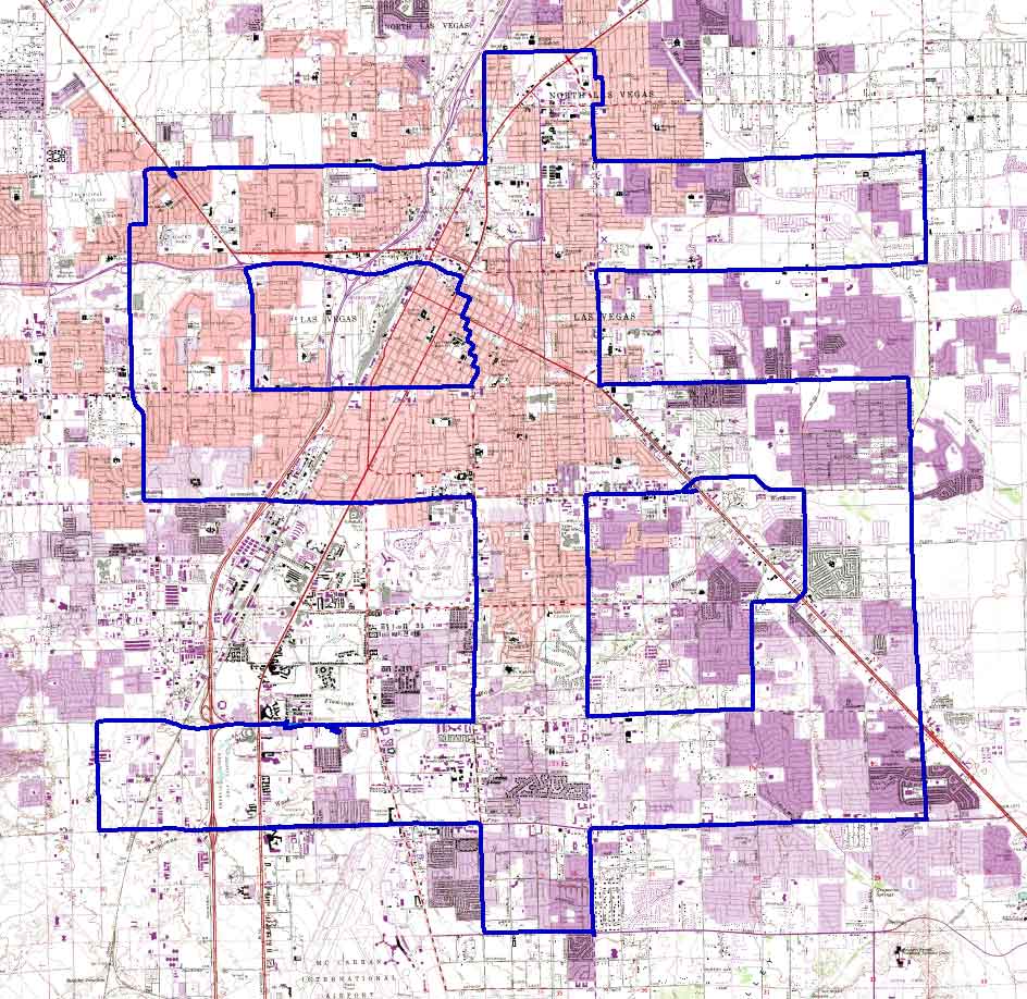
Topographic map
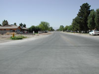
Location: Las Vegas, USA
Date: 25/03/2004
Track Length: 59.7 miles, 96.1 km (edited)


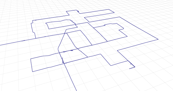
Perspective view of the full journey looking north by northeast
with a 1x1 km grid
jeremy wood.