GPS Drawing [Gallery]
[Maps] [Info]
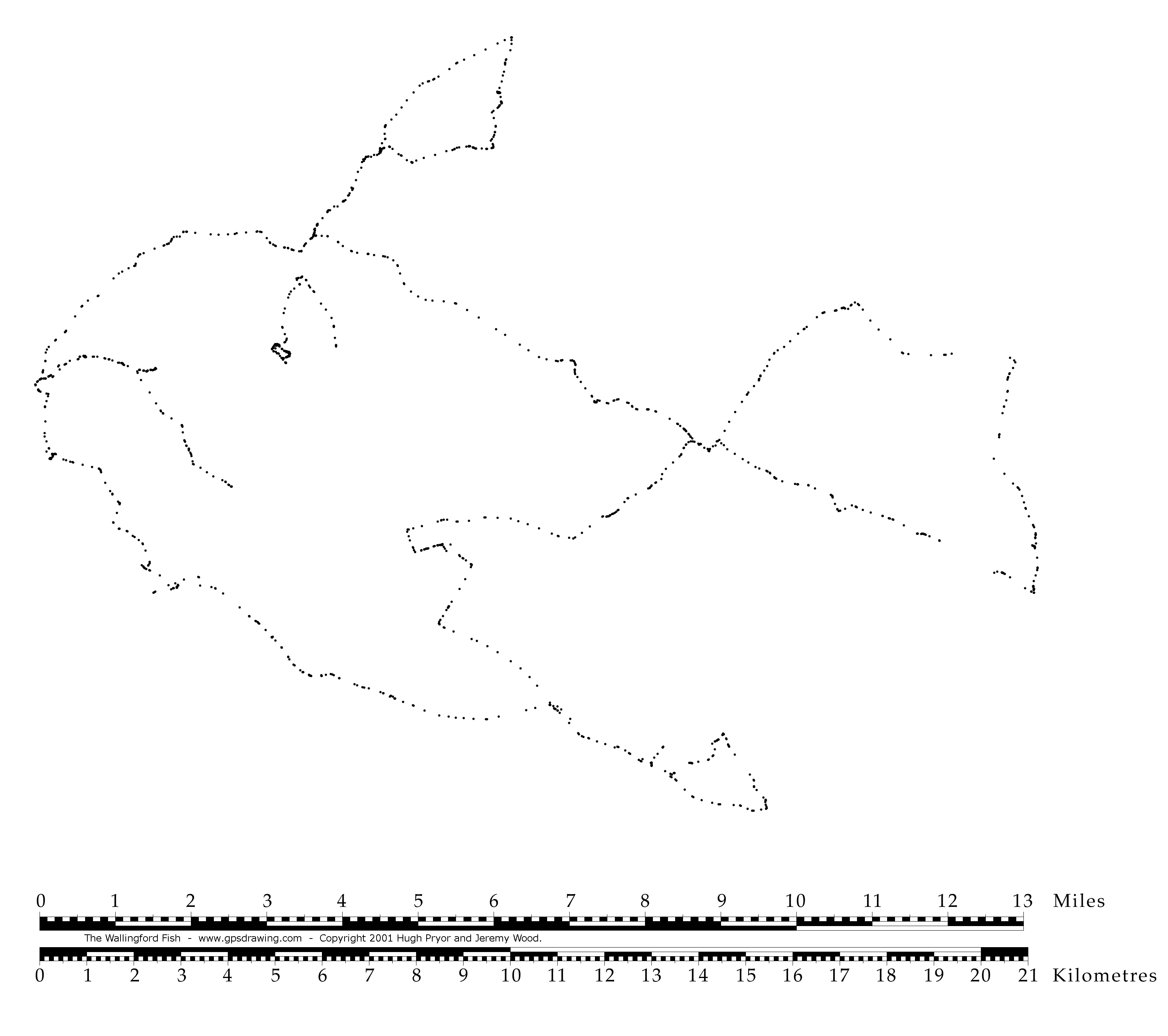
The Wallingford Fish
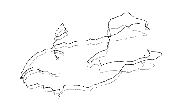
This is the very first pictorial GPS drawing and this entire mess of a
website was subsequently created in order to exhibit such peculiar feats of navigation.
The drawing was performed in an anti-clockwise direction late in the day during heavy rain, and it ended three hours and ten minutes later on a damp dark evening.
Unlike fishing we didn't know if we had caught anything until we got home.
Modified MapSource image...there wasn't much else at the time to weigh the catch.
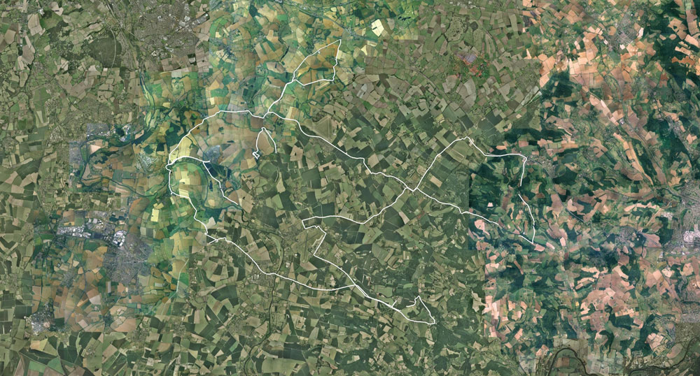
Ten years later there is something fishy about Google Earth.
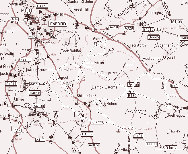
Location: Wallingford, Oxfordshire, UK
Date: 11/11/2000
Track Length: 108.5km
Method: Rover Metro 1.4 litre, with decorative air intake
and redundant rear spoiler
By Hugh Pryor and Jeremy Wood
"You've got the map upside-down" 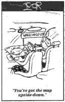 Cartoon by IVOR
GPSograph_ Shockwave Viewer
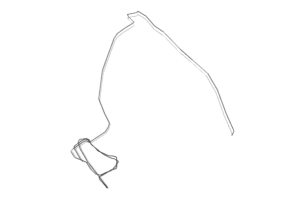
A small route village called Drayton St. Leonard is the eye of the fish.
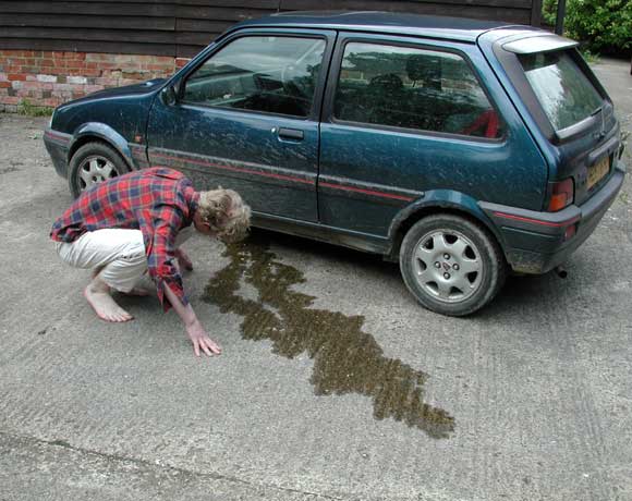
The following morning Mr. Pryor inspects his troubled Rover Metro 1.4 automobile.
A small image of a large fish (3102 x 2752 pixels):
gpsdrawing.com/gallery.html