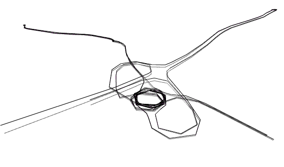
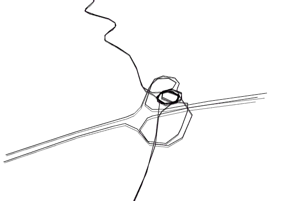
Location: Shoreham-by-Sea, E.Sussex, UK.
Date: 20/08/01
Track Length: 28.79 km
Method: Ford Escort Hire Van
I like driving but had no car at the time. When I rented a van and found some time at the end of the day, I set off to map a local roundabout. The junction connects the A27 motorway (horizontal line) with the A238 or Steyning Road and partly Old Shoreham Road (vertical line). I was curious about how the structure and all the connecting roads would look and I made it in the early hours of the morning for clear roads.