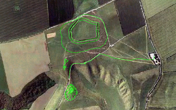
 1:1000 Scale GPS Model
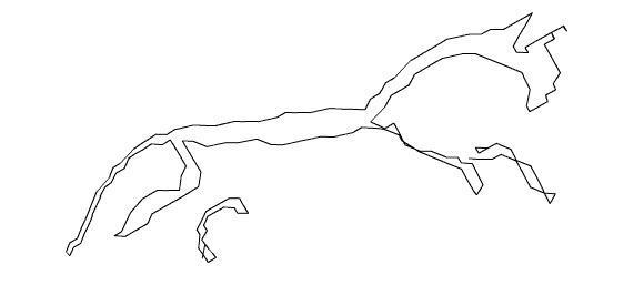
White Horse Hill
1:1000 Scale GPS Model
Location: Uffington, Oxfordshire, UK.
Date: 18/09/01
Full Track Length: 13.7 km (approx.)
Method: Foot
Credits: Hugh Pryor & Jeremy Wood
The stylised horse is the oldest of all the British chalk figures.
Archaeological surveys have suggested that it dates back 3000 years to the late
Bronze or Early Iron Ages.
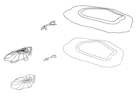
We mapped the site of what once was Uffigton Castle, a hillfort defended by
a bank and ditch, with the entrance on the west.
At the bottom of the hill is a burial mound which we clambered over as if slicing
a large cake.
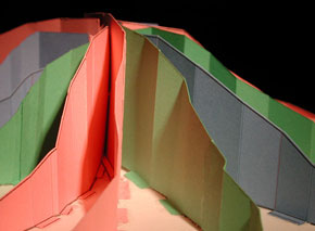
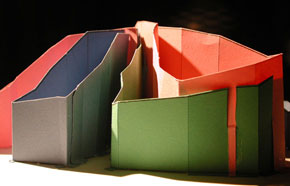
In order to make the model of the burial mound look a little more like geography homework,
we exaggerated the track altitude to at least 1:3 and used coloured card.
GPSograph_ Shockwave Viewer -Edited
GPSograph_ Shockwave Viewer -Full
