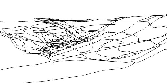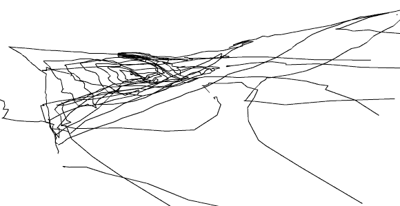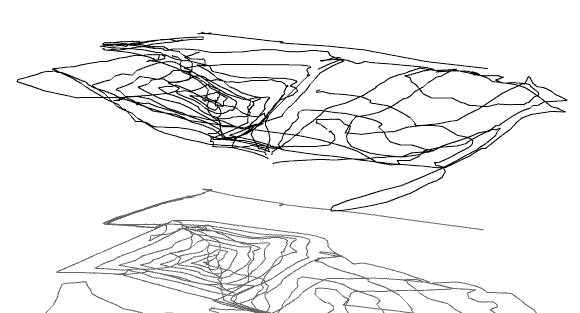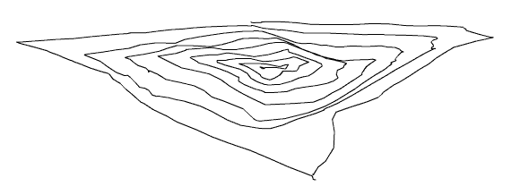
Devils Ditch
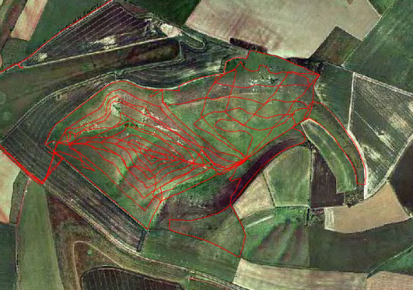
Location: Ridgeway, Oxfordshire, UK. Date: 19/09/01
Elapsed Time: Full = 15:08:48 - 19:07:08 Elapsed Time: Spiral only = 01:54:46
Track Lengths: Full 26.784 km, Spiral 7.515 km
Method: Foot and inappropriate clothing. Credits: Hugh Pryor & Jeremy Wood
We chose an area on a map with high contour-line density and visited the site
to test the capabilities
of the GPS receivers.
The area, known as Devil's Punchbowl, rests on the Vale of White Horse
(5 km east along the Ridgeway from White Horse Hill)
and is a little over one kilometer square.
We used the terrain to experiment with methods of capturing the variations in altitude for sculptural representation.
GPSograph_ Shockwave Viewer -Edited
GPSograph_ Shockwave Viewer -Full