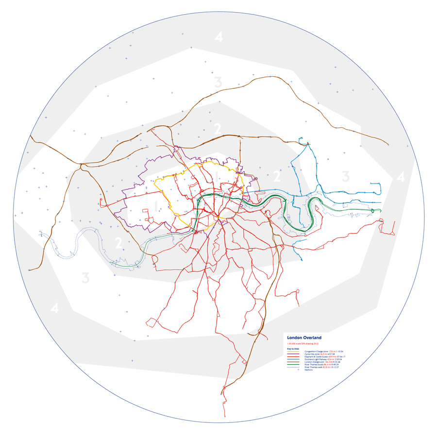
London Overland GPS map of London's transport networks
| PRINTS AVAILABLE from TAG FINE ARTS
Edition of 5 at 1:50,000 sclae (70x70cm) & edition of 10 at 1:100,000 scale (34x34cm) Giclée print on Museo Portfolio Rag


London Overland- A map of London's transport networks made by travelling along them with GPS
The idea began with an encounter at the British Library. I was studying a beautiful map on display that depicted London’s poverty during the 19th century.
The River Thames was particularly distinct as it was absent of the rich colour that was so densely deployed with intricacy everywhere else on the map.
My close reading was interrupted when a young girl was pushed in front of me by her mother.
I stepped back to share the map as politeness overruled my annoyance at the unwelcome disruption.
The mother then asked the girl “Do you know what this is?”
The girl shrugged her shoulders and said nothing.
“It’s London” exclaimed the mother.
She then pointed at the distinct shape of the River Thames and asked “Do you know what that is?”
The girl shrugged again in silence.
“It’s from EastEnders” exclaimed the mother before launching her daughter towards the next display.
The river had no name.
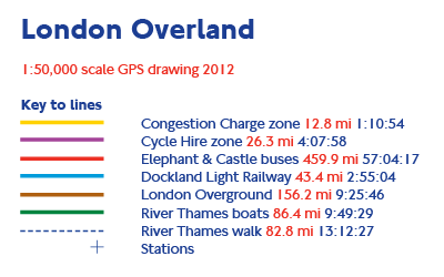
TRANSPORT NETWORK | DISTANCE | DURATION
Congestion Charge Zone 12.8 mi 01:10:54
A journey around the perimeter of an electronically and politically charged virtual boarder that was easy to navigate. It was clearly signposted and I travelled anticlockwise. I just kept to turning left unless I was warned of entering the surveillance area.
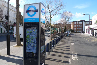
Cycle Hire Zone 26.3 mi 04:07:58
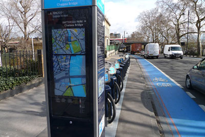
The zone was circumnavigated by bicycle a week before it was expanded towards the east. It was planned in great detail as a point to point journey to join each docking station around the outer edges. At times it was tricky to cycle and navigate such an intricate route marked on a printed map in hand. One memorable near miss with a careless driver unrelated to reading a map whilst cycling.
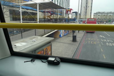
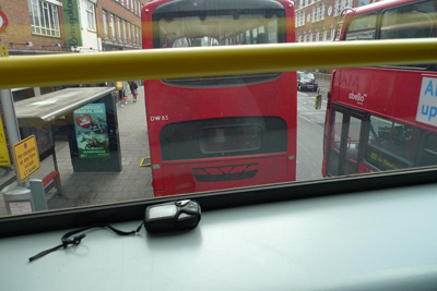
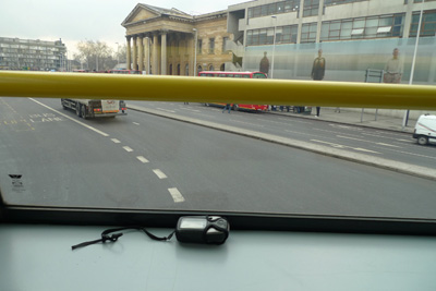
Elephant & Castle Buses 459.9 mi 57:04:17
Seven days on the buses. The decision to catch every route from all the bus stops at Elephant and Castle to each extremity and back was a greater feat than I'd anticipated. A regrettable undertaking on day one but manageable by day three because I began to notice things I wouldn’t ordinarily see at street level as a pedestrian or a cyclist. I mostly sat at the top of the double-deckers and at the front for optimum satellite reception. At times I distracted any boredom by listing what I could read from the road and shop signs as they came into view. The total distance travelled was equivalent to London to Dundee or Dijon to London.
Dockland Light Railway 43.4 mi 02:55:04
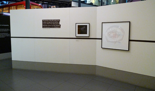
Beginning and ending at Bank station it was a delightful experience as I always found a seat facing the front window where I could rest the GPS receiver. When travelling through Canary Wharf the tall buildings tended to play havoc with the precisely timed satellite signals as they refracted them towards unpredictable realms of inaccuracy. The route also went under the Rivers Thames four times during which the receiver struggled to find itself.
London Overground 156.3 mi 09:25:46
For two days I travelled the London Overland for free. The first day I confused the ticketing system with my erratic style of obsessive travel and on the second day the barriers at my start point were not functioning in the morning so I was allowed out at the same place without charge in the evening.
River Thames Boats 86.4 mi 09:49:29
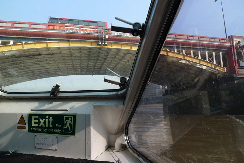
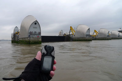
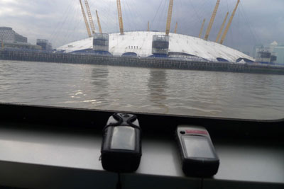
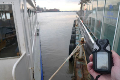
I spent nine hours and took 380 eager photographs during my first attempt to capture the shape of the river with boats. For some reason or other the GPS tracks failed to record to the memory chip and I had to undergo the whole journey again. During the second attempt I used two GPS receivers to record my tracks just in case. It was almost the same route but was an entirely different experience as I was more familiar with the routine and timetable.
River Thames Walk 82.8 mi 13:12:27
I captured the current permissible edges of the River Thames by travelling along its banks with GPS and crossing over each bridge along the way. From the Woolwich Free Ferry to Kew Bridge and back I travelled for over 13 hours on foot and by bicycle and made 42 river crossings.
Exhibited at MIND THE MAP | 18 May- 28 October 2012
London Transport Museum | Covent Garden, London WC2E 7BB

Jeremy Wood.
05/2012
www.gpsdrawing.com