Drawing Oxford on Oxford [Introduction]
[Map] [Exhibition]
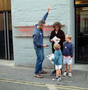
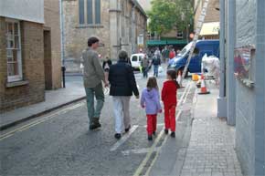
Family Day event at Modern Art Oxford
18/09/04
Twelve families were given one of six specially designed maps to guide them
on a walk around the city.
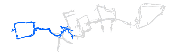
Each walk was in the shape of a letter of the alphabet.
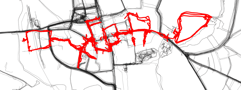
The combined GPS tracks from all the walks revealed a mystery word written across
Oxford spanning 1.3 miles.
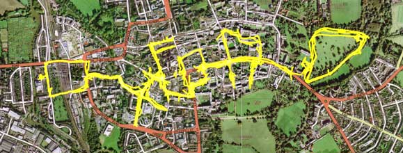
The final drawing contains 21.7 miles of GPS tracks.
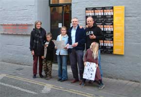
The families were not told what letters they were walking around.
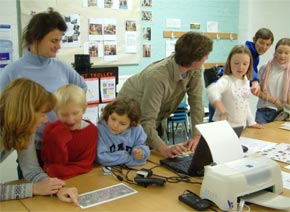
It was left a mystery until they either figured it out on route,
or saw the shape of their walks revealed afterwards on a computer.
This whole project, along with Drawing
on Oxfordshire, was part of ‘The Big Draw’,
a national campaign to encourage adults and children to draw in a range of contexts,
with events and activities taking place across the country every year during
October.
The campaign is organised by Drawing Power with one of its themes this year
being ‘space and place’.
External Links: