Drawing with Satellites
Matosinhos Beach, Porto, Portugal 02.11.2007
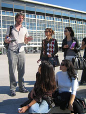
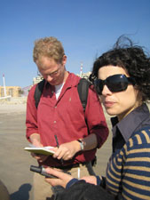
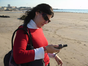
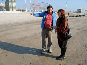
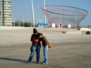
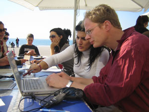
This workshop started by exploring some of the principles of drawing with a GPS receiver. We then headed to the vast Matosinhos beach for a day of drawing with satellites.
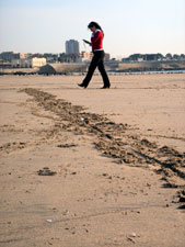
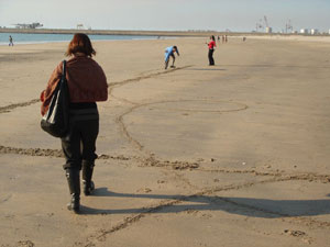
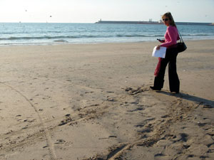
It was an ideal surface to walk over because we could use the sand to mark paths and boundaries to help us navigate along the drawings. Some drew first with a stick and then walked along its path, and others dragged their feet as they walked to help them orientate. One drawing traced a search for feathers on the beach and so used a new mark making technology to find one of the oldest.
The participants were encouraged to practice first to get the hang of GPS drawing. The receiver provides a birds-eye view of where you are and plots a digital tail of where you have been. It is can be tricky to reconcile this viewpoint with the perspective view we have from the ground.
+ 
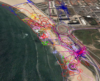
GPS Drawings on Matosinhos beach

GPS drawings


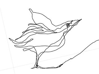

Jeremy Wood & Hugh Pryor


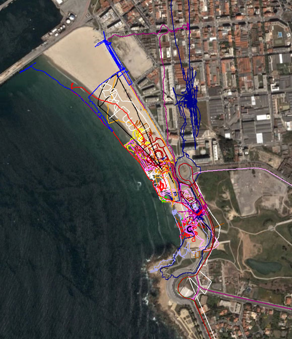
GPS Drawings on Matosinhos beach viewed in Google Earth