City as Canvas
Reitoria de Univesidade do Porto, Portugal
N41.14655 W8.61577 03/11/2007
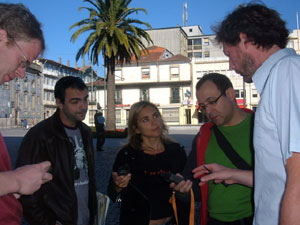
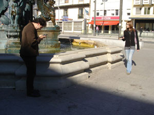
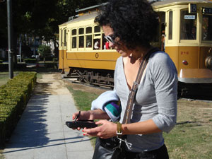
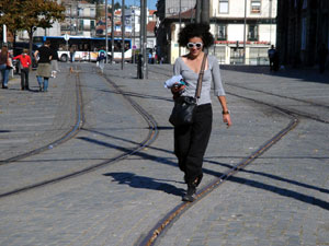
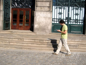
This was a three hour workshop that focused on mapping with GPS technology. We looked at different techniques and approaches before heading outside university building to map the surrounding Square Gomes Teixeira.

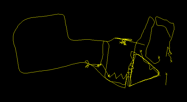
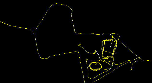
The unedited GPS tracks scratch the space above the Square Gomes Teixeira
and then split up to capture individual maps of the area.
There were tracings of the pedestrian edges, like along the low walls around planting areas, and around the pond. There were methodical walks along the tram tracks, and tracks that just wandered around from thing to thing as if mapping a conversation. After about an hour we all retreated inside to
share and discuss the results.
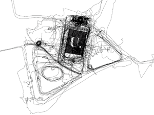
We combined all the individual mapping narratives together to produce a collective map of the workshop. It is a map where
the density of line composes the structure of an area. It charts particular approaches and responses to architectural space.
Hugh Pryor & Jeremy Wood

Individual GPS Maps
 the Reitoria and the pond
the fountain, the trees, and a distraction 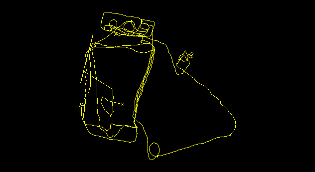
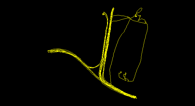 along the tram-tracks and around the Reitoria
methodical meanderings